Mayotte and its commercial port, Longoni, are located in the center of the Mozambique Channel.
The port of Longoni is located on the major “North-South” maritime routes of East Africa, less than 450 km from the African coast and 300 km from Madagascar.
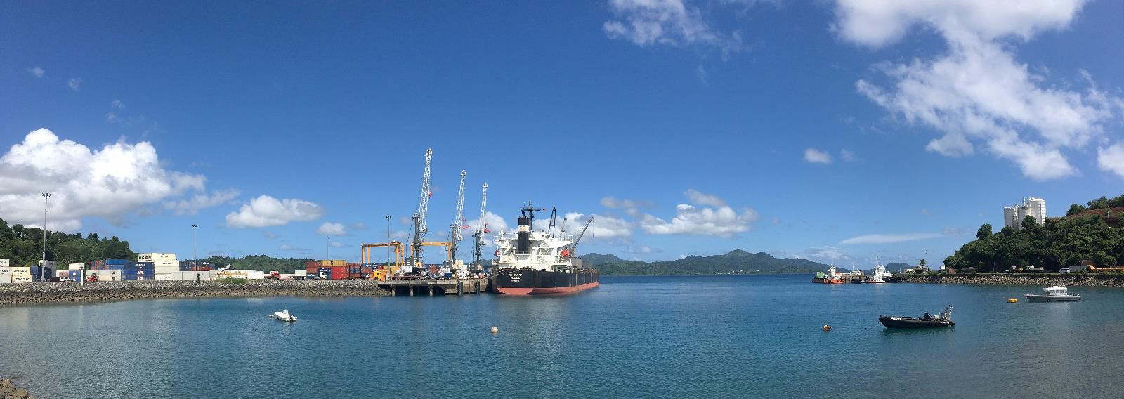
- Natural deep port
Draft : 14 m QUAY 2
Draft : 11.5 m QUAY 1 - Can take vessels up to 6000 TEUs
- Port non congested
- ISPS port
- European & french port standards
- Good standard of productivity
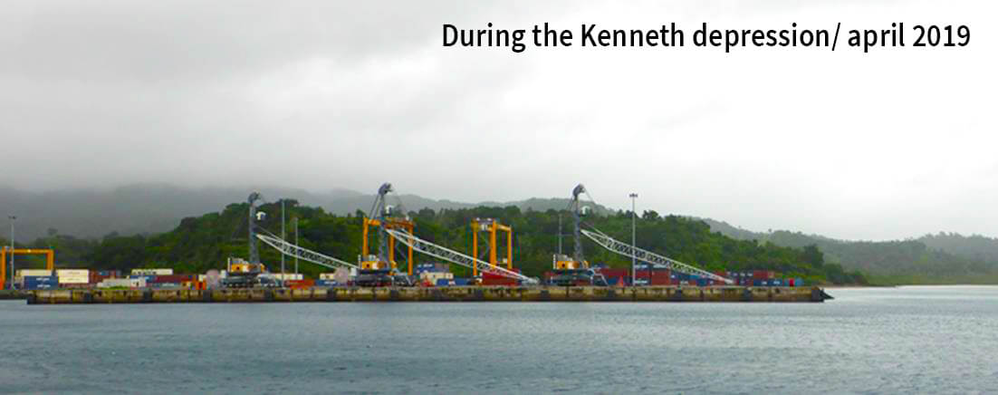
- In lagoon no swells
- Acces to harbour : 24 /7
- Many ongoing projects
- Land reserves
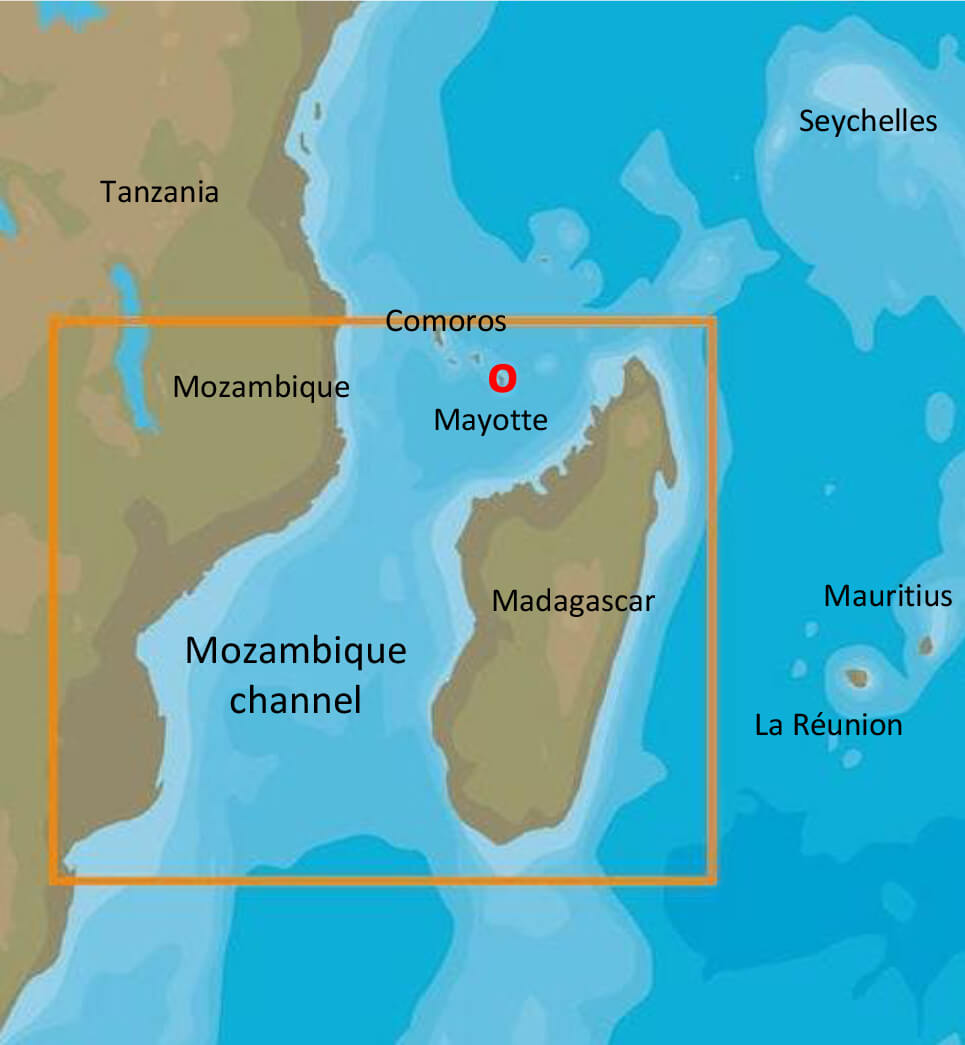
Location in the middle of the Mozambique channel
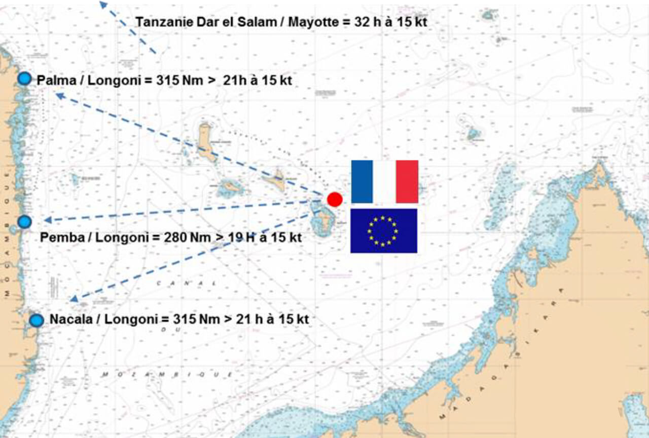
- To Mombasa : 648 nm
- To Dar El Salaam : 485 nm
- To Nosy Be : 162 nm
- To the Seychelles : 756 nm
- To the Réunion island : 750 nm To Mauritius : 810 nm
- To Arabian peninsula : 2160 nm To India : 2200 m
- To South Africa Durban : 1295 nm
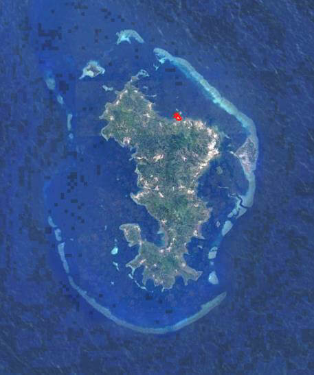
Island : 374 km²
Lagoon : 1200 km²
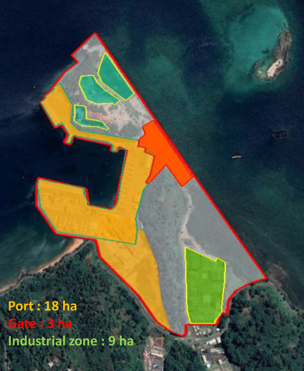
Maritime port area : 8 km²
Land port area : 61 ha
Occupation : 50%
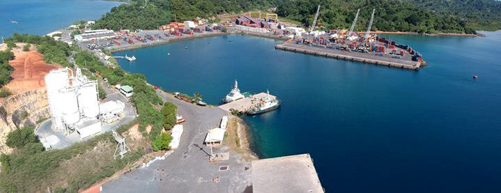
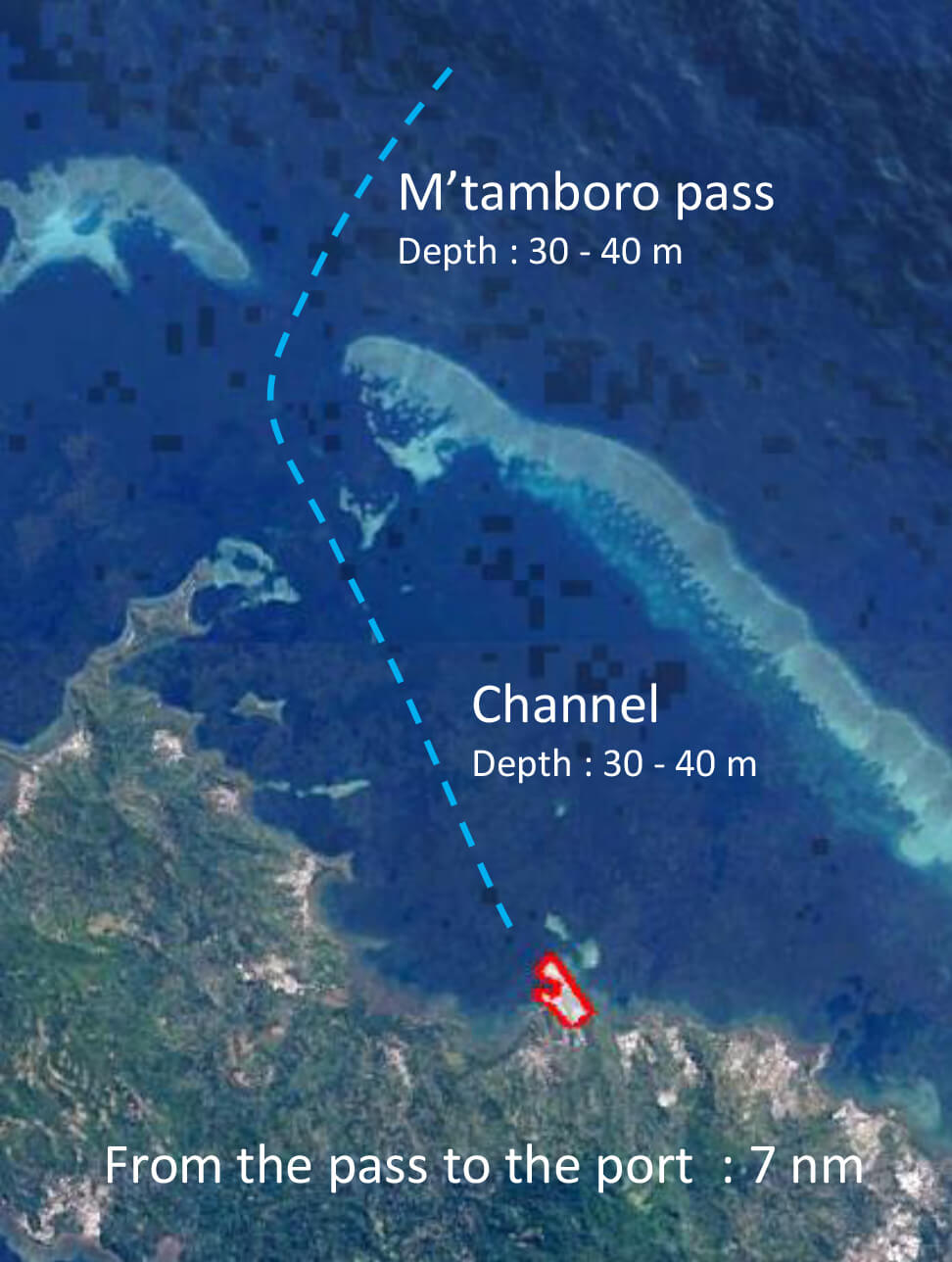
A well protected harbour site
Harbour : 13 ha / Average width : 200 m